
Compare Fayetteville ZIP Code Coverage
Fayetteville’s postal pattern includes regular city service areas, postal designations that reach beyond the city, and installation-linked areas. The official North Carolina Department of Revenue five-digit file was used to cross-check city and county associations. The labels below are practical local descriptions from the research, not population rankings or legal boundary claims. USPS remains the authority for a particular delivery address.
| ZIP | Areas covered | Post office | Record-search note |
|---|---|---|---|
| 28301 | East Fayetteville, downtown, and north-side use | Fayetteville | NCDOR lists E Fayettevlle and Cumberland; ZIP and city lines differ |
| 28302 | Fayetteville postal designation | Fayetteville | Commonly associated with PO-box service; verify delivery type with USPS |
| 28303 | Fayetteville, including Eutaw and Ponderosa postal designations | Fayetteville | NCDOR lists Cumberland; unincorporated pockets remain possible |
| 28304 | Fayetteville area designation | Fayetteville | NCDOR associates the ZIP with Cumberland and Hoke |
| 28305 | Central and south Fayetteville designation | Fayetteville | NCDOR lists Cumberland |
| 28306 | Fayetteville, Lakedale, and Fayetteville Municipal Airport designation | Fayetteville | NCDOR associates it with Cumberland, Bladen, and Hoke |
| 28307 | Fort Bragg | Fort Bragg | Installation postal area, not ordinary city-limit geography |
| 28308 | Pope Army Airfield | Pope Army Airfield | Installation-linked designation; verify address and custodian rules |
| 28309 | Fayetteville postal designation | Fayetteville | NCDOR lists Fayetteville and Cumberland; exact delivery type was not located |
| 28310 | Fort Bragg | Fort Bragg | Installation postal area, not a city resident roll |
| 28311 | Northeast and north-area Fayetteville use | Fayetteville | County planning and city materials use this ZIP; city line remains separate |
| 28312 | Fayetteville and Eastover postal designation | Fayetteville | NCDOR associates it with Cumberland and Bladen |
| 28313 | No Fayetteville-area designation verified in the source table | Not established by the research | Do not infer a Fayetteville coverage area from sequence alone |
| 28314 | Western Fayetteville, including Cliffdale and West Fayetteville use | Fayetteville | City materials use the ZIP; city and county boundaries still do not match it |
This postal reference should not be read as a contiguous map. The complete 28301 through 28314 range includes a number with no Fayetteville-area designation verified in the source table, along with PO-box and installation cautions. This is why an exact address check follows the broad table.
Separate Fayetteville ZIP Installations
28307 and 28310 are associated with Fort Bragg, and 28308 is associated with Pope Army Airfield. They belong in a Fayetteville-area postal discussion because the addresses are nearby, yet they are not ordinary Fayetteville city resident rolls. Installation records, access rules, and address conventions may follow military custodianship rather than a city department or county resident record.
This is a useful geography check before using any address record. Fort Bragg, Pope, city limits, county jurisdiction, and ZIP delivery area are separate overlays. A nearby parcel can carry a familiar postal name while its records are held by a different custodian. The postal label alone cannot resolve that question.
Verify Fayetteville ZIP Addresses
Use the exact-address step after narrowing an area. USPS Address Lookup accepts a city and state route as well as an exact delivery-address check. It is the postal check for the mailing address, not a source for parcel ownership, municipal jurisdiction, or a list of people in a postal area. Confirm the street number, spelling, directional word, and unit details that apply to the delivery address.
The USPS lookup is the source depicted below. It provides the last-mile postal confirmation needed before comparing the same place to a Fayetteville map or county parcel record.
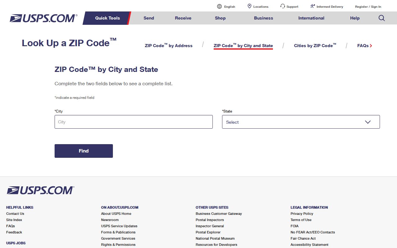
A USPS result establishes the delivery geography for the typed address. It does not replace the parcel number, situs address, or legal description used by local records.
Note: A PO-box designation may identify a postal delivery arrangement rather than a physical street location, so verify the record type before using it as an address.
Map Fayetteville Postal Geometry
The city’s public GIS postal layer supports query, identify, export, legend, and find operations. It contains one public postal layer and uses North Carolina State Plane coordinates. Compare its polygon with parcel, street, city-boundary, and county-boundary layers instead of assuming the ZIP outline is a municipal line. The service’s published maximum record count is 1,000, which is a technical limit and not a resident list.
| GIS postal layer | One public city REST layer for map geometry |
|---|---|
| Available operations | Query, identify, export, find, and legend access |
| Map comparison | ZIP polygon, parcel, street, city boundary, and county boundary |
| Coordinate reference | North Carolina State Plane 2264, feet |
| Published service cap | Maximum record count 1,000 |
The Fayetteville ZIP GIS layer is shown here. Its value is spatial comparison, helping an address search move from a postal area to the appropriate parcel and jurisdiction layers.
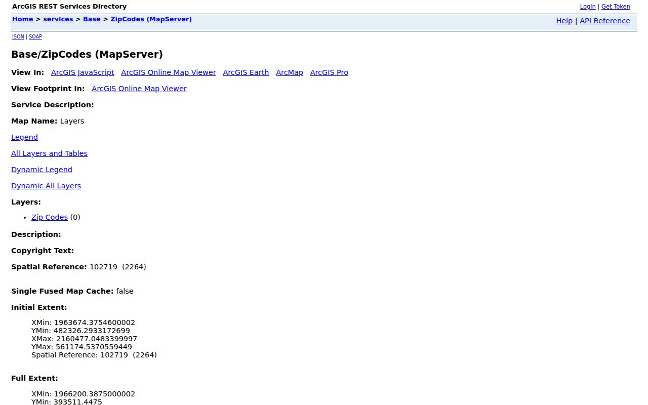
After the polygon is identified, use the street or parcel route for local records. Map geometry alone does not disclose a ZIP-wide resident list.
Check Fayetteville ZIP Search Limits
ZIP searching is not a single portal feature in Cumberland County. The captured prior-year Tax search offers bill number, parcel number, owner name, and street name, but no ZIP field was exposed. The public voter lookup can narrow by county but does not show a clearly exposed ZIP field. Its data files include residence and mailing address fields, yet filtering those files by ZIP comes only after lawful acquisition and review of the applicable rules.
Permit and code searches use an address, location, parcel, project number, or related record terms. ZIP behavior was not exposed. The practical sequence is to use USPS for delivery verification, use GIS for the ZIP polygon and local overlays, then search Tax, permits, or recorded land records with the parcel, situs address, legal owner, or project identifier that applies to that system. Do not promise a ZIP-wide people list where the public portal does not provide one.
Search Fayetteville Postal Records
A ZIP can focus an address search, but each follow-up record uses its own key. The steps below keep postal geography distinct from property and public-registration records. Once an address is narrowed to a particular street, the address-keyed workflow belongs in the Fayetteville street directory.
- Validate the exact mailing address in USPS ZIP Lookup, including any unit or directional element needed for delivery.
- Plot that address in county or city GIS, then compare the ZIP polygon with the street, parcel, city boundary, and county boundary.
- Use the GIS parcel identifier in Tax Administration, and use the situs address for permit or code searches when that is the field the agency uses.
- For an individual public voter record, use the name-driven lookup or a lawful written data request. Do not treat ZIP as a voter jurisdiction.
- If jurisdiction remains unclear, ask Addressing, Planning, GIS, or the relevant municipality rather than inferring it from the ZIP label.
County Tax Administration and the Register of Deeds remain separate from postal searching. The tax card may supply a listed owner or mailing field, while the deed index follows grantor and grantee names. Neither is a direct ZIP-directory search.
Compare Fayetteville Postal Boundaries
A Fayetteville ZIP is not the city line. The Department of Revenue file associates 28304 with Cumberland and Hoke, 28306 with Cumberland, Bladen, and Hoke, and 28312 with Cumberland and Bladen. A Fayetteville postal address may be outside city limits, while a location close to the city can use a different postal label. Municipal boundary and annexation context should be checked in GIS or the city’s annexation material, not inferred from a ZIP.
- ZIP
- A five-digit postal delivery geography. It is not a parcel, city boundary, or voter district.
- ZIP+4
- An added delivery detail used after the five-digit ZIP. It does not change the city or county jurisdiction of a parcel.
- PO-box ZIP
- A postal designation associated with box delivery. It may not identify a physical situs address.
- Unique ZIP
- A ZIP associated with a single institution or special postal arrangement. It should be verified with USPS for the address at issue.
- Carrier route
- A postal delivery grouping. It is not a municipal boundary or a directory of local residents.
Read Fayetteville ZIP History Carefully
Historical directories predate the ZIP system. A 1909 or 1924 listing may use a street, post office, rural route, or telephone exchange rather than a modern ZIP. Do not assign today’s ZIP to an old directory address without first comparing the printed location to a map, street-name history, nearby intersection, or current parcel and legal description.
Fayetteville’s historical directory collections and Sanborn maps provide the older address context. The Cumberland library’s Local & State History resources, DigitalNC directories, and archival map routes can bridge the gap, but publication dates and street changes still matter. A modern ZIP is a search aid, not evidence that an earlier address used that same geography.
Track Fayetteville ZIP Address Changes
The county’s 2008 addressing work built a web map for the 911 database, scanned plans, and eliminated 21 four-drawer file cabinets. That shift from paper plans to mapped address information helps explain why a current GIS check is valuable, especially after a road change. The research did not locate a verified historic USPS ZIP split or realignment notice for Fayetteville, so no dated postal split is claimed here.
Cumberland Planning and Inspections guidance is the source in the image. Its address and street-naming information supports verification when a street name, E-911 block range, or city and county label needs correction.
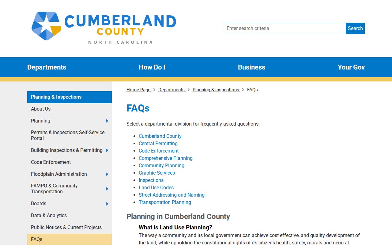
The September 2025 I-295 road changes are another reason to compare older and current street strings through GIS, parcels, plats, and intersections before attaching a ZIP or a record result to an address.
Note: A new or changed street string can affect delivery matching and local searches, so retain both versions while an address is being reconciled.