
Trace Fayetteville Streets by Address
A street-by-street search works best as a chain, not as a roster. Cumberland County Tax Administration and GIS tie a location to a parcel and a listed owner. The Register of Deeds then indexes the recorded parties by name, while the voter system can confirm a particular public registration record and printed directories can add historical context. Each source answers a narrower question. Listed ownership is not proof that a person lives there, and a public voter record does not identify everyone at the same address.
- Confirm the address with Cumberland County Addressing or the parcel map, then note the street spelling and parcel identifier shown there.
- Search the current real-property route or the prior-year Cumberland tax search by street, parcel, owner, or bill number. Preserve the result context before moving on.
- Open the county GIS viewer, turn on the parcel, street, and address layers, and identify parcels one at a time along the street.
- Carry the legal owner and legal description to the CCROD Internet Records Search, where grantor and grantee names lead to the instrument chain.
- For a particular person, use the North Carolina voter lookup or an authorized records channel, then compare only fields that the public record actually provides.
The order matters. It turns a street address into a parcel and a name before entering an index that is not designed to search by street.
Search Fayetteville Street Tax Records
The county separates current calendar-year real-property information from its prior-year tax and billing search. The latter documents four useful entry points: bill number, parcel number, owner name, and street name. A result can open through “Go to Abstract,” which is the value-detail action. An empty street result is a reason to try the parcel identifier, legal owner, or the applicable prior year, not a reason to conclude that no record exists.
| Tax search field | Input type | Use on a Fayetteville street | Portal note |
|---|---|---|---|
| Bill Number | Text | Find a known prior-year tax bill | Exact format was not published |
| Parcel Number | Text | Match a GIS parcel to tax information | Use the number returned by the live map or result |
| Owner Name | Text | Check a listed legal owner after an address search | Name variants may be needed |
| Street Name | Text | Start a by-address review of a street | Separate house-number controls were not verified |
| Go to Abstract | Result action | Open the value or abstract detail | Available after a matching result |
The captured Cumberland tax search is the source for the interface shown in the image. Tax Administration says its ownership information follows publicly indexed instruments and Estates Division information as of January 1, but it is not a legal opinion of title. For a detailed value breakdown or help with a record that does not resolve online, contact Tax Administration at 117 Dick Street, Room 530, or call 910-678-7507.
The tax interface gives the by-address process its practical first step: a repeatable way to move from a street string to a parcel or listed owner without claiming that the listing proves current residence.
Note: A listed owner, a mailing destination, and a physical parcel can point to different people or places, so record each label exactly as returned.
Browse Fayetteville Street GIS Layers
GIS is the useful whole-street view because no public map is a household register. Cumberland GIS supplies the interactive county map, and the city’s mapping service publishes Address Point, Streets, Parcels, Zoning, and City Boundaries layers. A sound method is to zoom to the street, enable the address, street, and parcel layers, click the target polygon, and then identify nearby polygons in sequence. The parcel identifier is the handoff to Tax Administration.
The city service supports Identify, Query, and Find operations and its map services publish geometry in North Carolina State Plane coordinates. The county’s 2013 viewer documentation also described parcel links to the Tax Assessor, legends, and distance or area measurement. Those tools establish map context. They do not establish legal title, and a visual parcel line should be checked against the recorded plat or instrument when a legal boundary matters.
The Cumberland GIS parcel viewer is shown below. Its layers make it easier to retain the correct parcel while moving along a Fayetteville street with similar numbers, new subdivisions, or changed intersections.
Once the map supplies a parcel key, the next record should be the Tax abstract or the deed chain, rather than an inference from the map label alone.
Define Fayetteville Street Address Terms
Four identifiers can describe the same location, but they have different jobs. Keeping them separate prevents a street result from becoming a claim about a person or a boundary. The county’s static tax material did not expose every live parcel-card label, so a field should be copied from the result rather than assumed from a similar record.
- Parcel
- The county Tax and GIS identifier for a tract. It connects a mapped polygon to a property record, but its exact format should come from the live result.
- Situs address
- The physical location of the parcel used for mapping, permits, and code work. It is not necessarily the owner’s mailing destination.
- Mailing address
- A postal destination that may be stored separately in a tax, voter, or recorded record. It should not be treated as a person’s physical location.
- Plat
- A recorded map that can show lots, blocks, subdivisions, roads, easements, and legal geometry. It helps bridge a street address to the legal parcel.
- Criss-cross directory
- A printed street or householder section that runs from street and number toward a listed occupant or business for that directory year.
Use the situs address for street mapping and city permit or code searches. Use the parcel identifier for Tax and GIS work. Use the legal description, lot, block, or subdivision information when following a recorded deed. These distinctions are especially important when a street has been renumbered, a parcel has been split, or the mailing address is elsewhere.
Follow Fayetteville Street Deed Records
Cumberland County land records begin in 1754, but CCROD is name-keyed rather than address-keyed. Start with the Tax or GIS result, search the listed owner as a grantee, read the acquisition deed, and note the prior grantor, book and page or instrument number, recording date, and legal description. Then search the earlier seller as a grantee. Repeating that path creates a chain of recorded transfers without mistaking a modern street string for the index key.
CCROD’s land-record guidance says staff may explain indexing and copy procedure but cannot perform a title search. Search surname-first and ordinary-name forms, middle initials, former names, trusts, entities, and likely abbreviations when the index permits. Read the image where available because it can carry the legal description, notary material, restrictions, prior references, and map or lot information that an index line omits.
| Index route | Grantor, grantee, book and page, or document number |
|---|---|
| Earliest county land records | 1754, with no single verified public online image cutoff |
| Uncertified deed copy | $0.25 per page |
| Certified deed copy | $5 for the first page, plus $2 for each additional page |
| Counter and mail channel | Register of Deeds, 117 Dick Street; mailing address PO Box 2039, Fayetteville, NC 28302 |
CCROD’s real-estate counter is in Room 117, with land-record telephone assistance at 910-678-7773 and main office at 910-678-7775. Older material may require the counter, the State Archives, or a library and archive route because online availability is not a complete-date promise. The numbers tell a local story: an index reaching to 1754 is valuable, yet the path still depends on names and legal descriptions.
Check Fayetteville Street Permit Records
City address records add activity and timing to the parcel trail. Fayetteville Permitting and Inspections directs users to Fayworx for legacy material from 2015 through 2021 and E-Development for records after 2021. The help material describes searches by address or location, permit number, permit type, people, contractor, and optional date range. A blank result in one system does not rule out the other portal era.
Code Enforcement is a separate address layer. Its public dashboard and spreadsheet cover common violation summaries and open or closed status for the past 12 months; older or detailed material needs a targeted request. The department describes a typical year of about 13,000 cases, including roughly 4,000 citizen complaints and 9,000 inspector-generated cases. That volume is why a date and status matter when reading any visible case.
The Fayetteville GIS parcel and zoning service is the source shown here. A permit or case may connect an address to a project, work type, inspection, or public contact field, but it is not proof of present household membership.
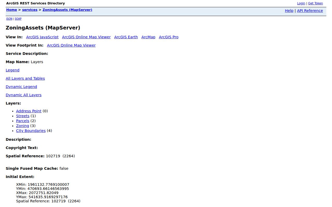
The city map services place permit and code research beside parcels, streets, zoning, and city boundaries, which helps keep the address context clear before requesting a fuller record.
Note: For a city record not available through a department portal, submit a focused request through the city’s public-record channel with the address, date range, and record type.
Use Fayetteville Street Voter Evidence
The state voter lookup is built for a particular name, not an open screen of everyone on a street. Its form uses first and last name, an optional middle initial, optional year of birth, optional county, and a status choice. A public result can include registration status, public residence or mailing address, party, districts, polling place, and voter history. History records participation, not ballot choices.
For a lawful broader analysis, the State Board supplies current and historical voter-data files and handles written requests for bulk or selective data. Publicly releasable fields are limited by North Carolina law. Full date of birth, Social Security number, driver-license or agency identifiers, email, ID copies, and protected addresses are not public. Cumberland Elections can assist with corrections and file requests at 227 Fountainhead Lane, 910-678-7733, Monday through Friday, 8 to 5.
No public street search can turn that limited access into a complete street list. A person may be unregistered, protected by the Address Confidentiality Program or a qualifying safety arrangement, or simply absent from the searched record.
Bridge Fayetteville Street Name Changes
Street strings age quickly. County addressing work in 2008 created a web map for the 911 database, scanned plans, and removed 21 four-drawer file cabinets from the paper workflow. County Addressing now provides Single Address, Subdivision Address, Address Verification Letter, and Address Deletion request paths. Its work excludes Fort Bragg, while street-naming work also has a separate county and participating-municipality role.
Cumberland County Addressing is the source shown here. Its request options give a practical route for validating a street string before searching Tax, GIS, permits, or older printed records.
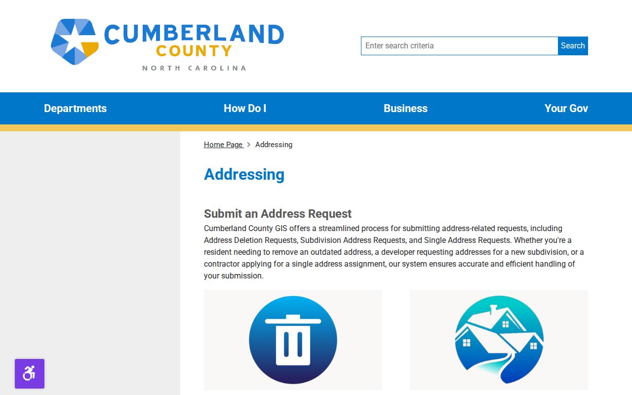
Address verification helps retain the correct current form of a Fayetteville street name while the older spelling, number, or intersection is kept for historical matching.
Road changes can break a simple search. The September 2025 City Council recap documented I-295-related renames and realignments, including Century Circle to Midship Road, portions of Strickland Bridge Road to Crestwick Road and Brinkman Road, a Barefoot Road portion to Chadstone Road, and an Eunice Drive portion to Bellhop Drive. When an old name fails, compare the old and new names with an intersection, parcel geometry, recorded plat, and legal description rather than guessing from a current number.
Older Fayetteville household information belongs in the printed street guides, not in a modern parcel record. The 1959 directory used a Householders section, alphabetical adult-resident list, Yellow Pages, and numerical telephone directory. The historical volumes are discussed in the Fayetteville city directory collection, where a numbered street is read numerically and a named street alphabetically.
Compare Fayetteville Street Records
The most reliable by-address conclusion is narrow and documented. A parcel is a map and tax identifier. A deed supplies recorded parties and legal language. A permit or code case can mark an event. A historic directory captures a publication-year listing. Combining them is useful only when the dates and identifiers agree.
| Address record | Local keeper | What it can show | Access channel |
|---|---|---|---|
| Tax abstract | Cumberland Tax Administration | Listed owner, bill and parcel identifiers, value context, and improvements | Current page, prior-year search, phone, counter, or written detail request |
| GIS parcel map | Cumberland GIS and city GIS | Parcel geometry, address point, street, boundaries, ZIP, and zoning layers | Interactive viewer or city REST query, identify, and find operations |
| Recorded deed or plat | Cumberland Register of Deeds | Recorded parties, legal description, dates, book/page, and subdivision context | Name index, online image where available, counter, phone, or mail copy request |
| Permit or code case | Fayetteville Development Services | Project or case address, work or violation category, and status context | E-Development, Fayworx, dashboard, spreadsheet, or targeted request |
| Voter record | State Board and Cumberland Elections | Public registration fields for a named registrant | Individual lookup, data file, written selective-file request, or elections office |
| Historic directory | Library and DigitalNC | Street, number, adult or business listing, and time-specific context | Scans, Local & State History Room, library request, and archive routes |
For historic or missing material, the Local & State History Room at Headquarters Library can retrieve specific books or microfilm, while the North Carolina State Archives holds transferred county groups and microfilm. A written North Carolina Public Records Act request should identify the address, parcel or book/page, date range, desired format, and whether a certified copy is needed.
Set Fayetteville Street Search Limits
Public address records do not identify every person connected with a location. They do not supply a complete household list, protected addresses, full DMV address data, utility customer lists, delivery information, or the identity of people who are not in the relevant record. A tax mailing address can differ from the situs address. A GIS line is not a title decision. A dated directory listing is not a statement about the present.
Records also cross boundaries. A Fayetteville postal address can fall outside city limits, and nearby Fort Bragg or Pope geography may follow different custodians. Confirm the office that holds the record before relying on a result, especially when the parcel, ZIP, mailing address, and city line do not agree.